Sailing Through History: Ancient Legacy Along Croatia's Coast
Date
Reading time
7 min


The story of the Adriatic as more than just a place of leisure, exploring ancient sailing routes, historic maritime heritage and the traces of centuries of seafaring that still shape sailing along the Croatian coast and its islands
Before the Adriatic became a place of leisure, it was a thoroughfare. Islands and channels offered shelter, natural harbours safe anchorage, and sea routes linked coastal settlements with Italy and the Mediterranean. From landmarks such as the Pula Arena and Diocletian’s Palace to subtler traces, street grids, necropolises, inscriptions, land divisions and harbours beneath the sea, this is not an itinerary to complete in one summer, but a long voyage through history.
Istria: from Roman villas to Pola
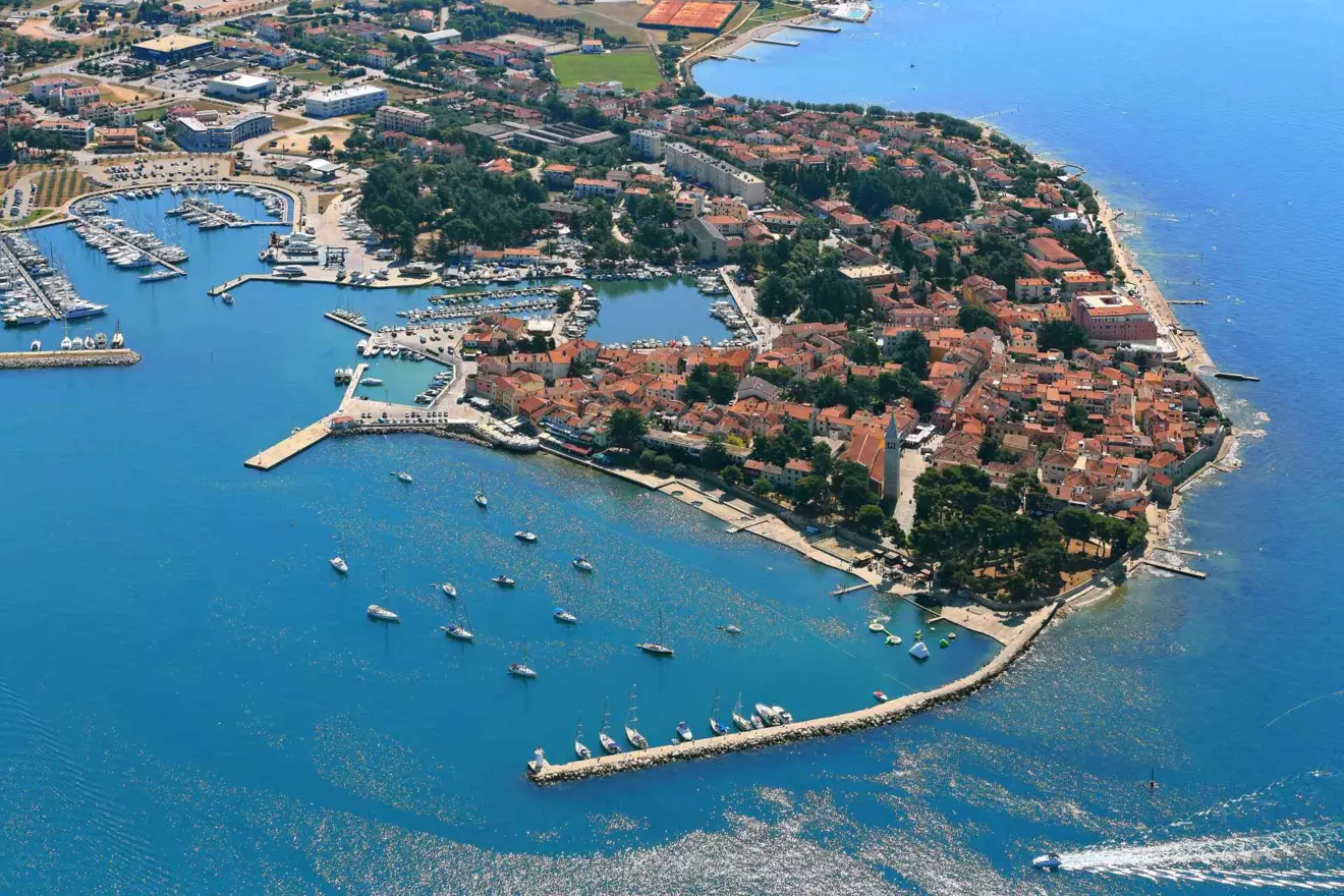
In Istria, the first stop is Novigrad, where the ancient story requires some caution. The name Civitas Nova belongs to a later period, while in antiquity the area was marked by Roman villas and estates. Ancient and late antique fragments are preserved in the Lapidarium Museum, while the peninsula setting introduces a motif repeated throughout the route: a settlement facing the sea, a sheltered harbour and fertile hinterland.
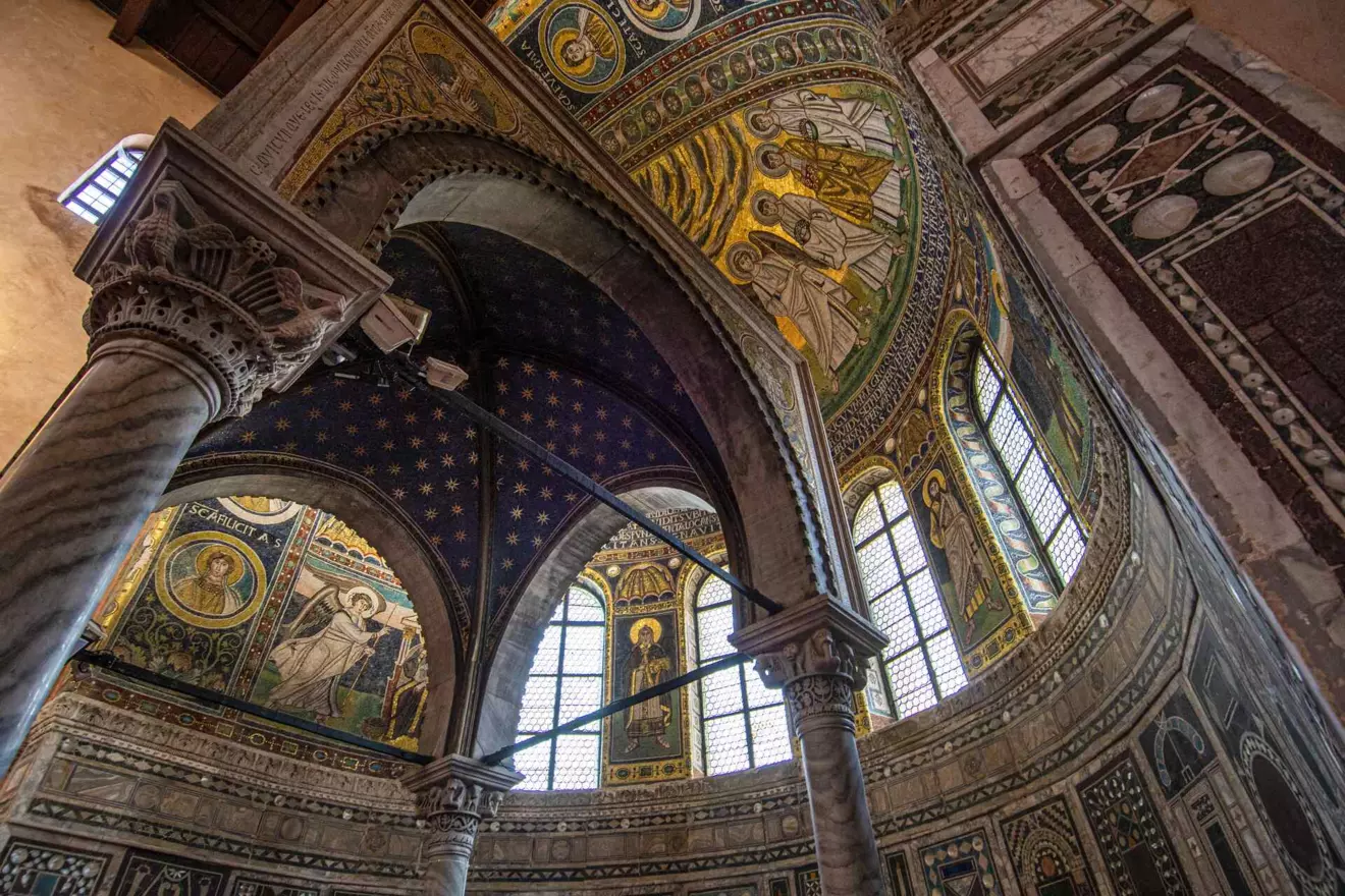
Further south lies Poreč, Roman Parentium, where the ancient structure is more evident. Today’s Decumanus Street follows the Roman decumanus, while Marafor occupies the former town centre with its forum and temples. The ancient grid remains embedded in the historic core, while the Euphrasian Basilica bears witness to the town’s continuity.
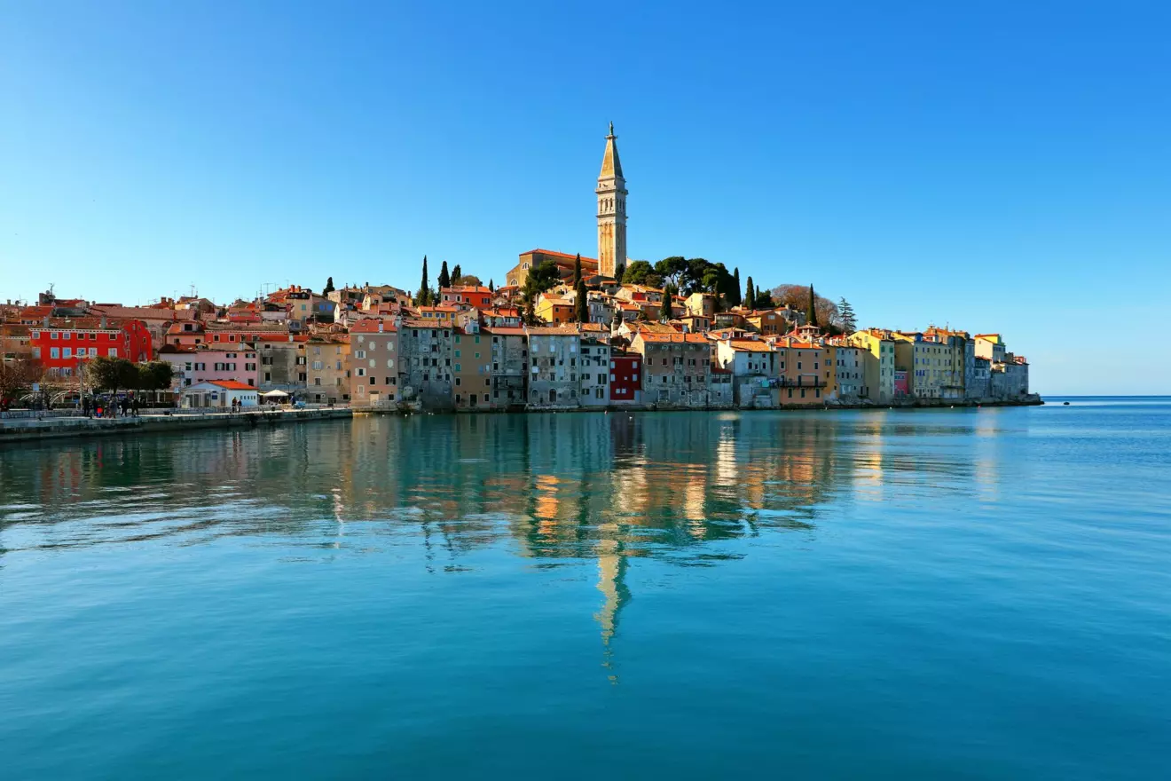
Rovinj offers a different story. Instead of monumental Roman remains in the town itself, its ancient past is found in the surrounding landscape. In Cisterna Bay are traces of a Roman villa rustica and a complex linked to the processing of olives and grapes, while pottery, walls and other finds attest to Roman-era life in western Istria.
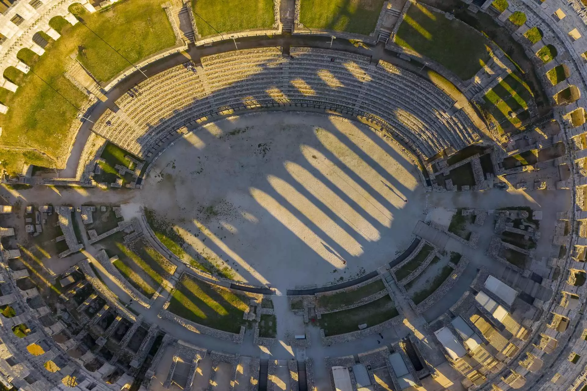
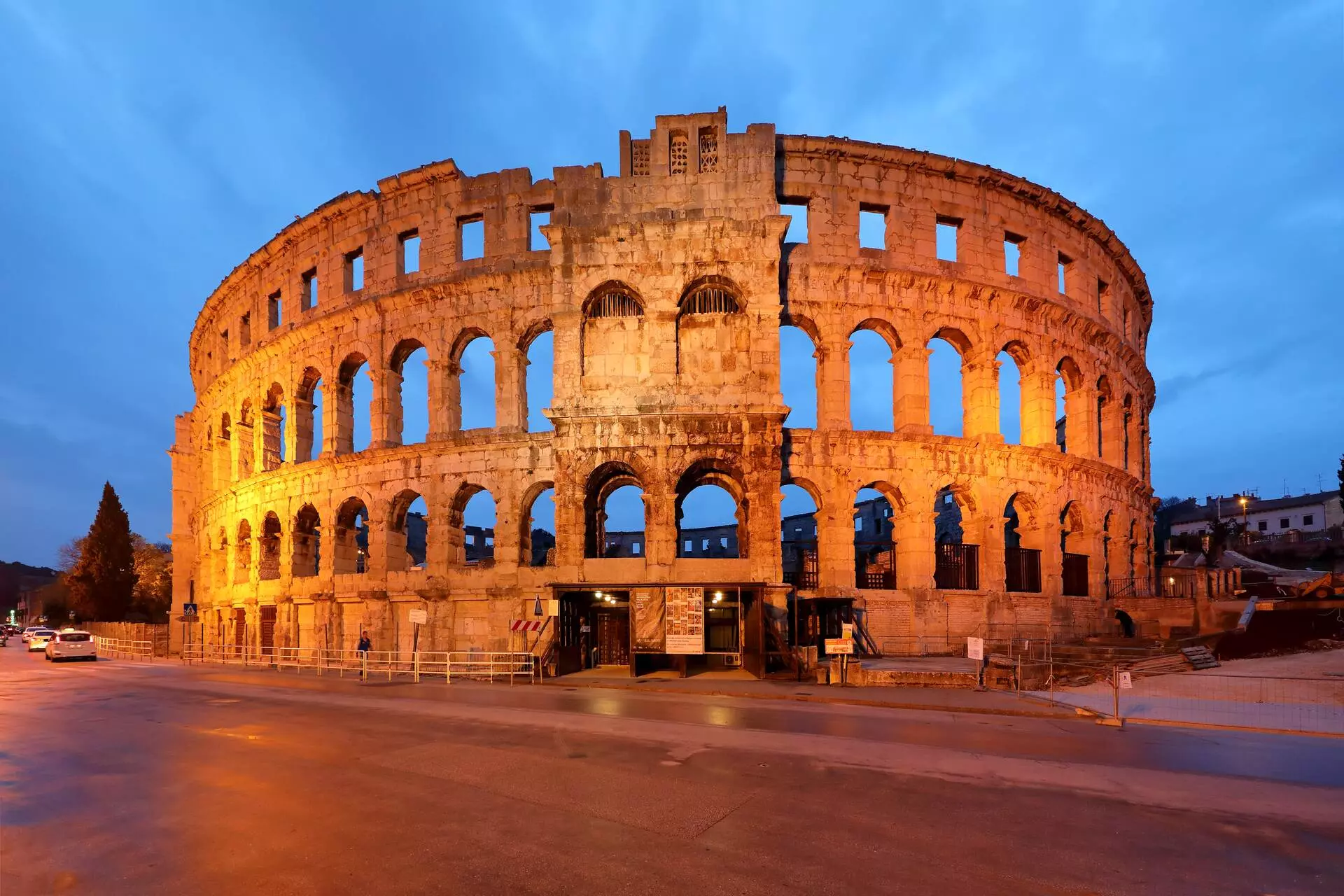
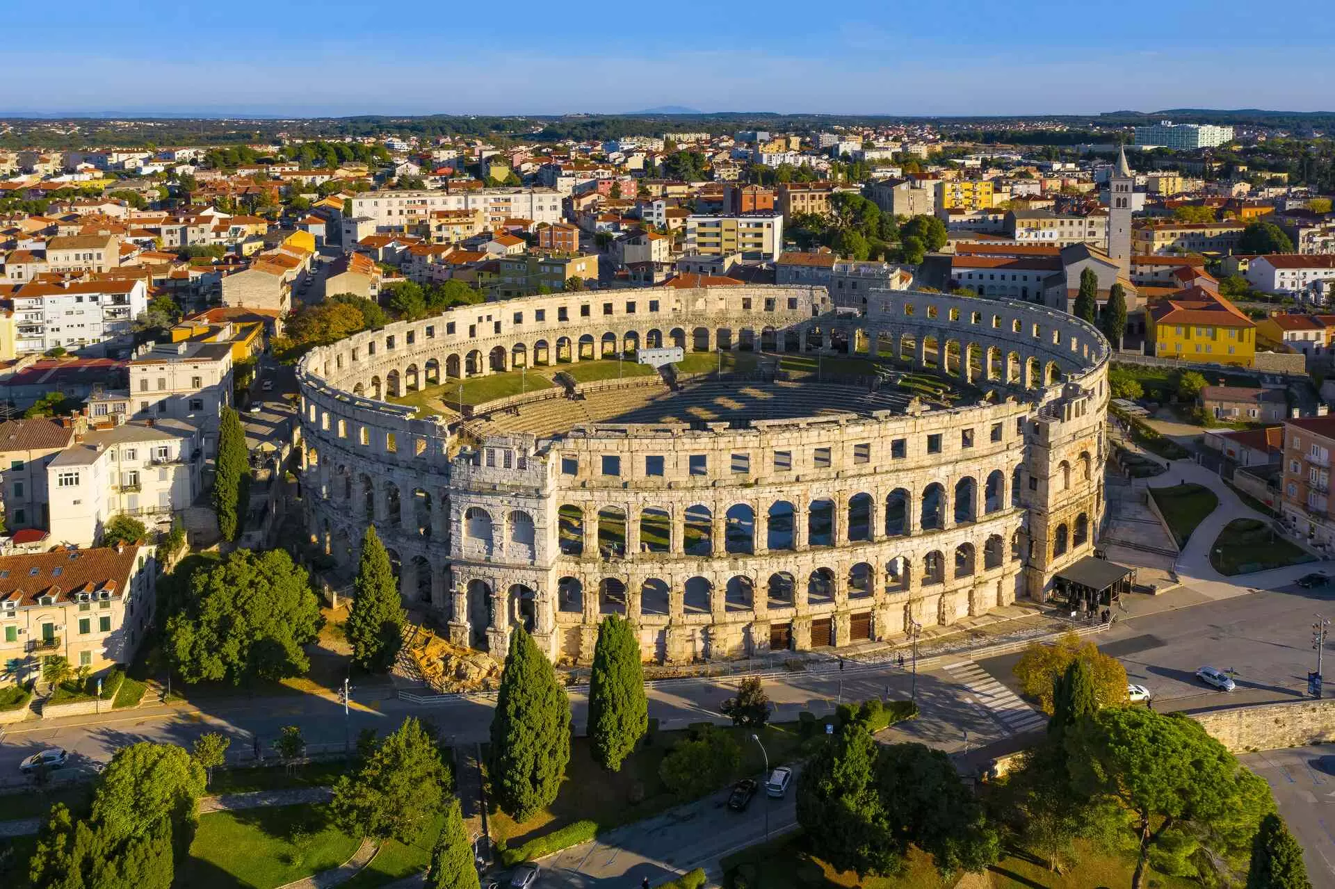
Former Pola does not hide its Roman past. The 1st-century amphitheatre still dominates the harbour area, but the Arena is only the beginning. The Temple of Augustus stands on the former Forum, the Arch of the Sergii marks an entrance to the town, while the Twin Gates, the Small Roman Theatre and other remains reveal the scale of Colonia Pietas Iulia Pola. Here, the ancient city is more than an archaeological layer: its buildings remain part of everyday life, while the voyage towards Kvarner continues across waters once used by merchant and military vessels.
Kvarner: towns along important passages
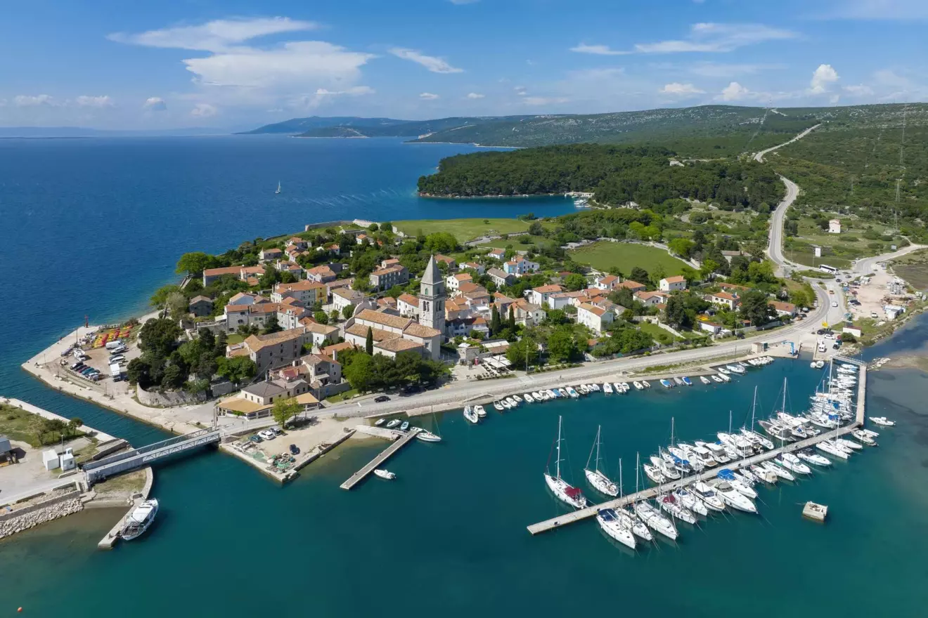
On entering Kvarner, the route leaves the coastline and opens towards the islands. The position of Osor, ancient Apsoros, explains its importance. Situated between Cres and Lošinj, it controlled one of the key maritime passages. Today’s small settlement reveals only part of its former significance, but the archaeological collection, stone monuments, pottery, sculptures and necropolis remains testify to long continuity.
On Krk, ancient Curicum remains embedded in the modern town. Roman urban traces recall a settlement that changed but did not disappear. Senia, present-day Senj, developed where maritime routes met connections with the hinterland. Inscriptions, amphorae, glass and necropolis finds reveal a town integrated into Adriatic and Mediterranean trade, while its position beneath Velebit recalls the enduring importance of winds and safe shelter. Further south lies Rab, ancient Arba, also known in the Roman period as Felix Arba. The town had walls, public buildings, an aqueduct and developed trade. Its appearance is later, but its setting remains the same: an elongated peninsula beside a sheltered harbour.
Beneath Velebit towards Iadera
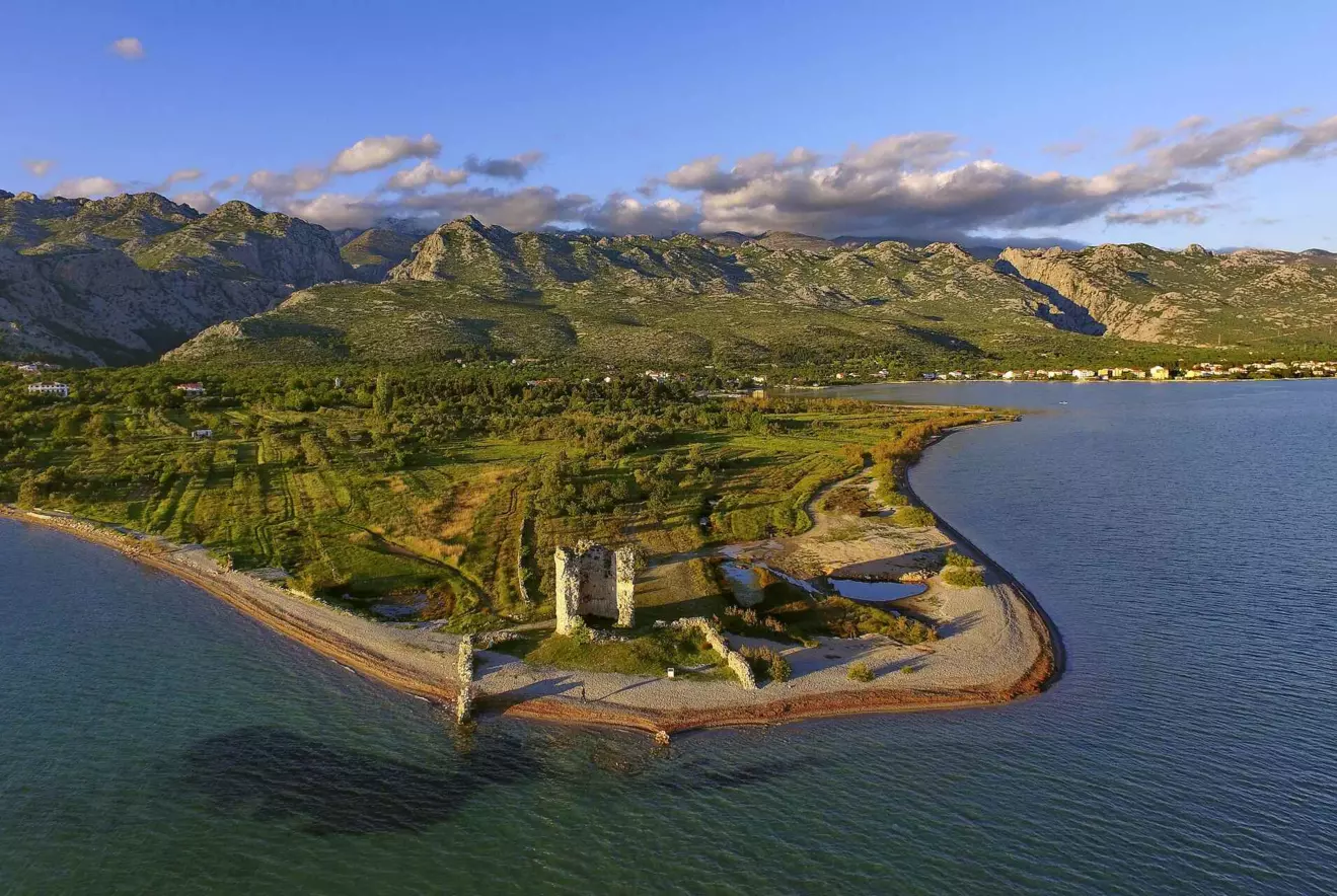
Beneath Velebit lies Starigrad-Paklenica, Roman Argyruntum, an important trading centre. Under Emperor Tiberius, the town was enclosed by walls and towers. Its necropolis is especially valuable: around 400 excavated graves yielded jewellery, metal objects and a rich collection of ancient glass.
In Nin, ancient Aenona, maritime history can be read on land and beneath the sea. The remains of a monumental Roman temple survive in the town, while parts of the ancient harbour, a breakwater and sewn vessels of the serilia type, linked to a shipbuilding tradition, have been excavated in nearby Zaton. What is now underwater archaeology was once a place of ships, cargo and people.
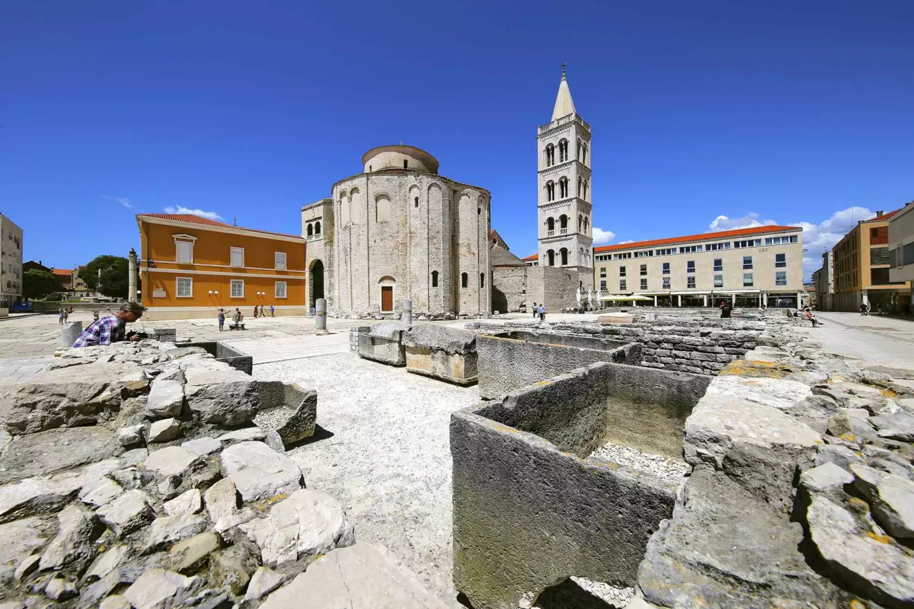
A few nautical miles away, Roman Iader, present-day Zadar, reveals a major urban centre of ancient Dalmatia. Its Forum, developed from the Augustan period onwards, was the political, commercial and religious heart of the town. Today its remains stand beside St Donatus and the Archaeological Museum, showing how strongly the Roman urban matrix endured as the city developed above it.
From the sea, the route then enters the Krka River towards Skradin. Ancient Scardona developed where the navigable route towards the hinterland met the coast. It was a harbour, trading centre and Roman municipium, and excavations have uncovered sections of the ancient waterfront.
Central Dalmatia: from Tragurion to Issa
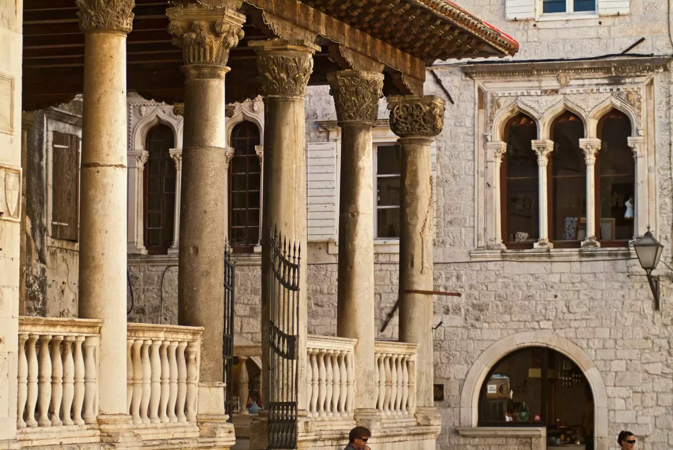
In Trogir, the most important ancient monument is the town itself. Tragurion was founded by Greek colonists in the 3rd century BC, and its Hellenistic street grid has survived so well that it remains legible within the UNESCO-protected urban structure. The small island between the mainland and Čiovo shows why the settlement arose here, at a natural point for maritime traffic and trade.
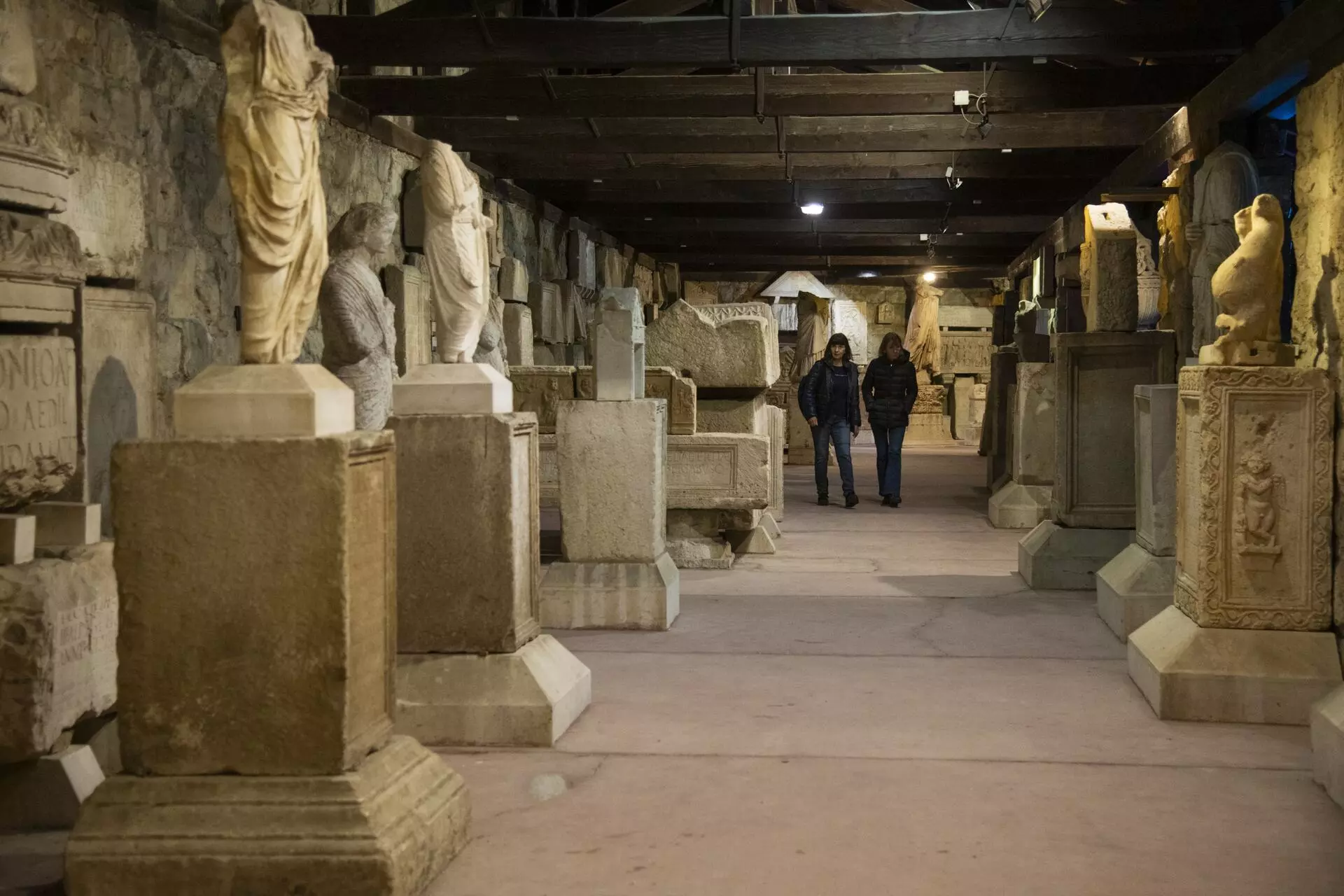
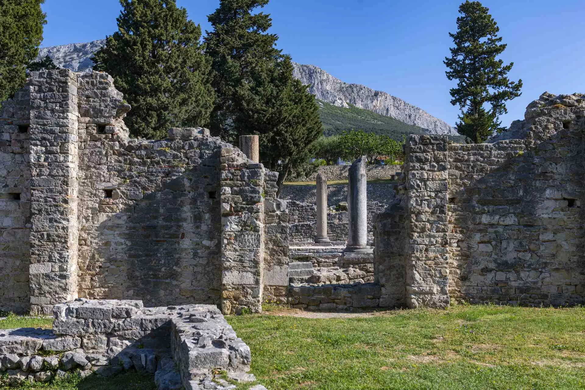
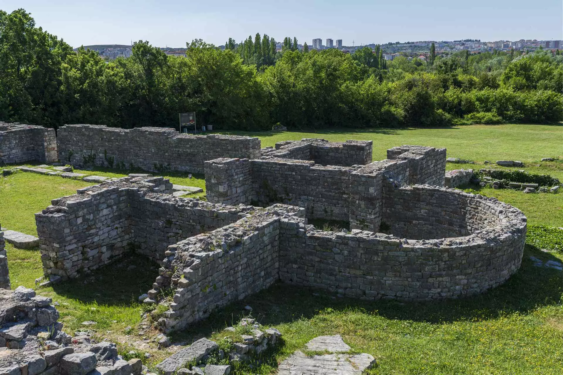
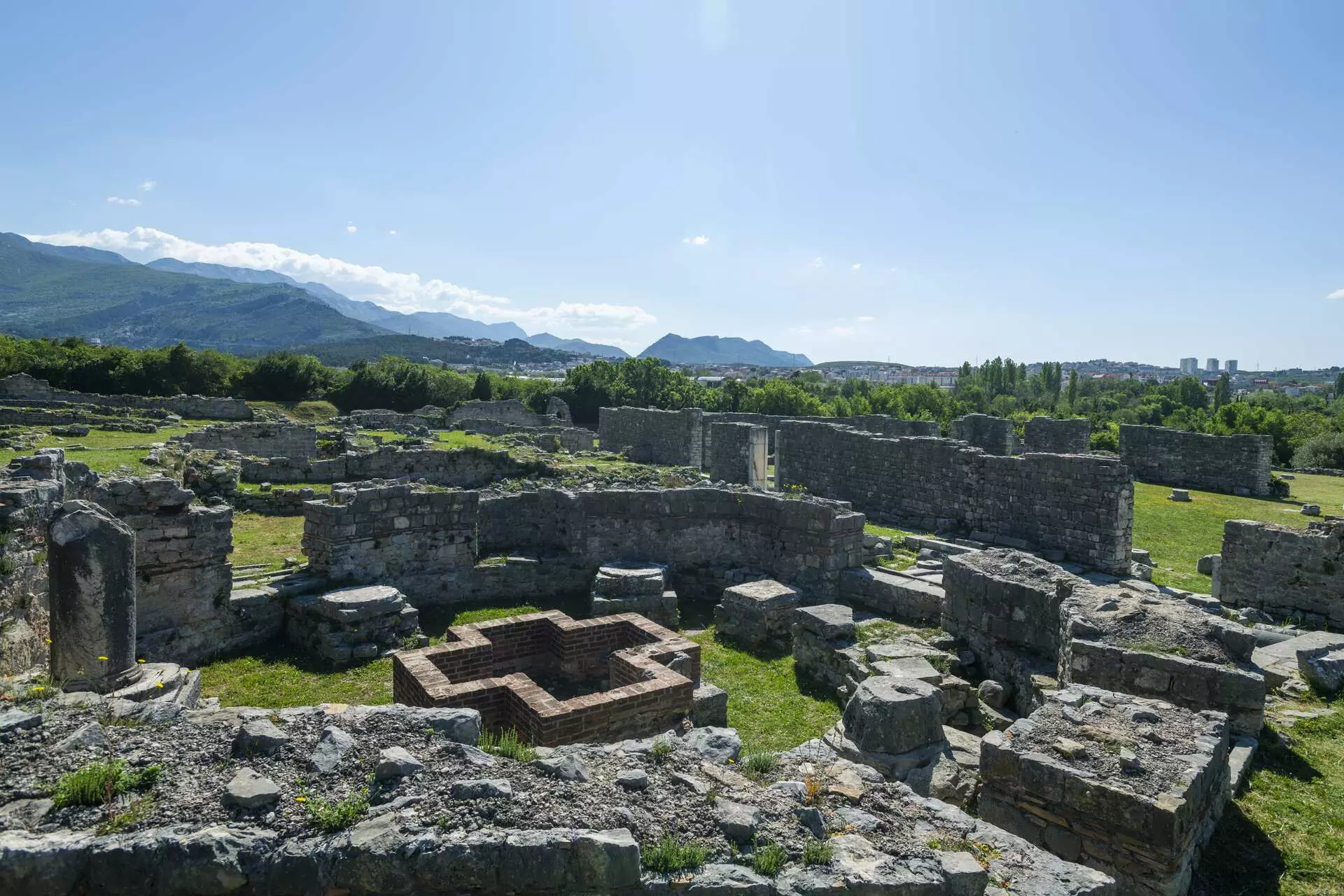
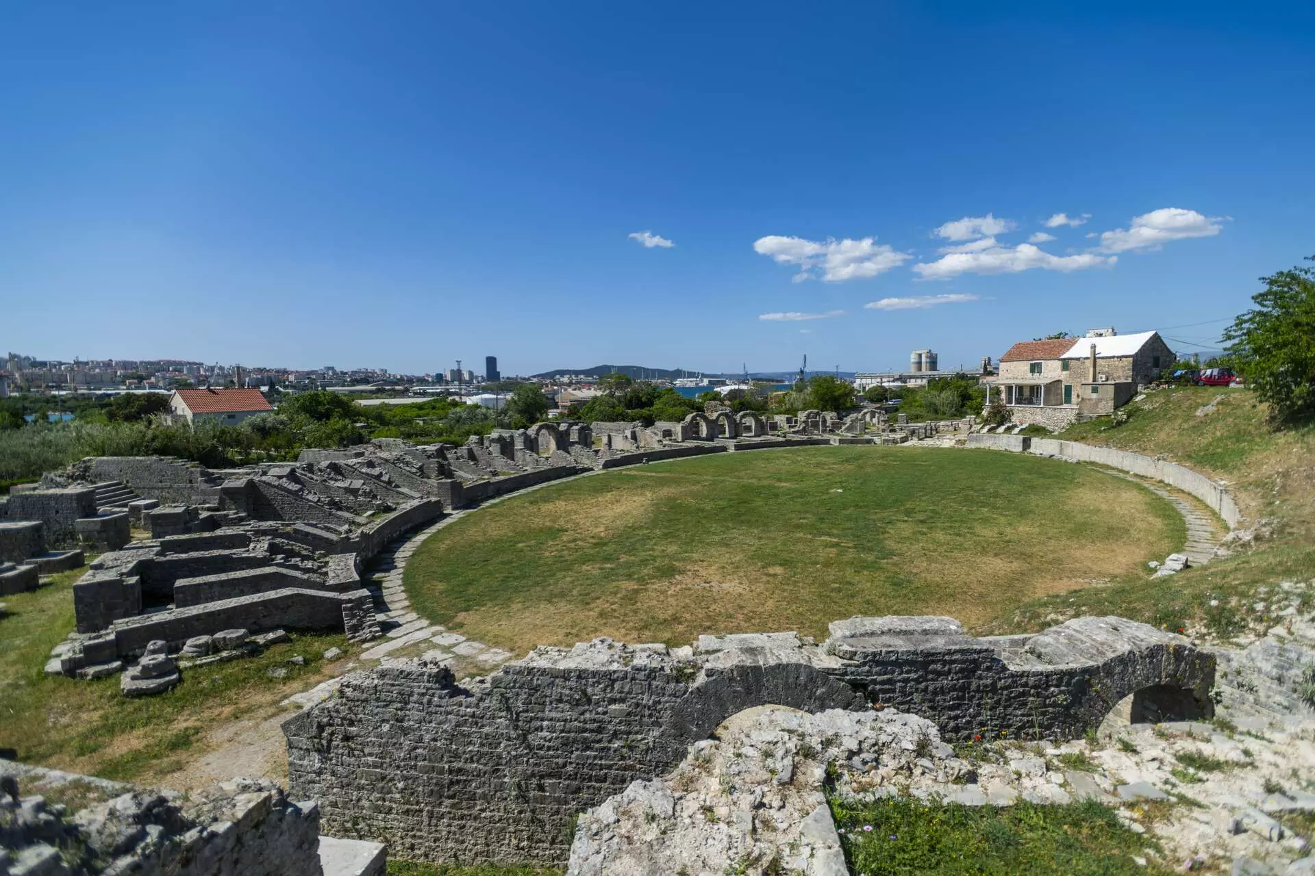
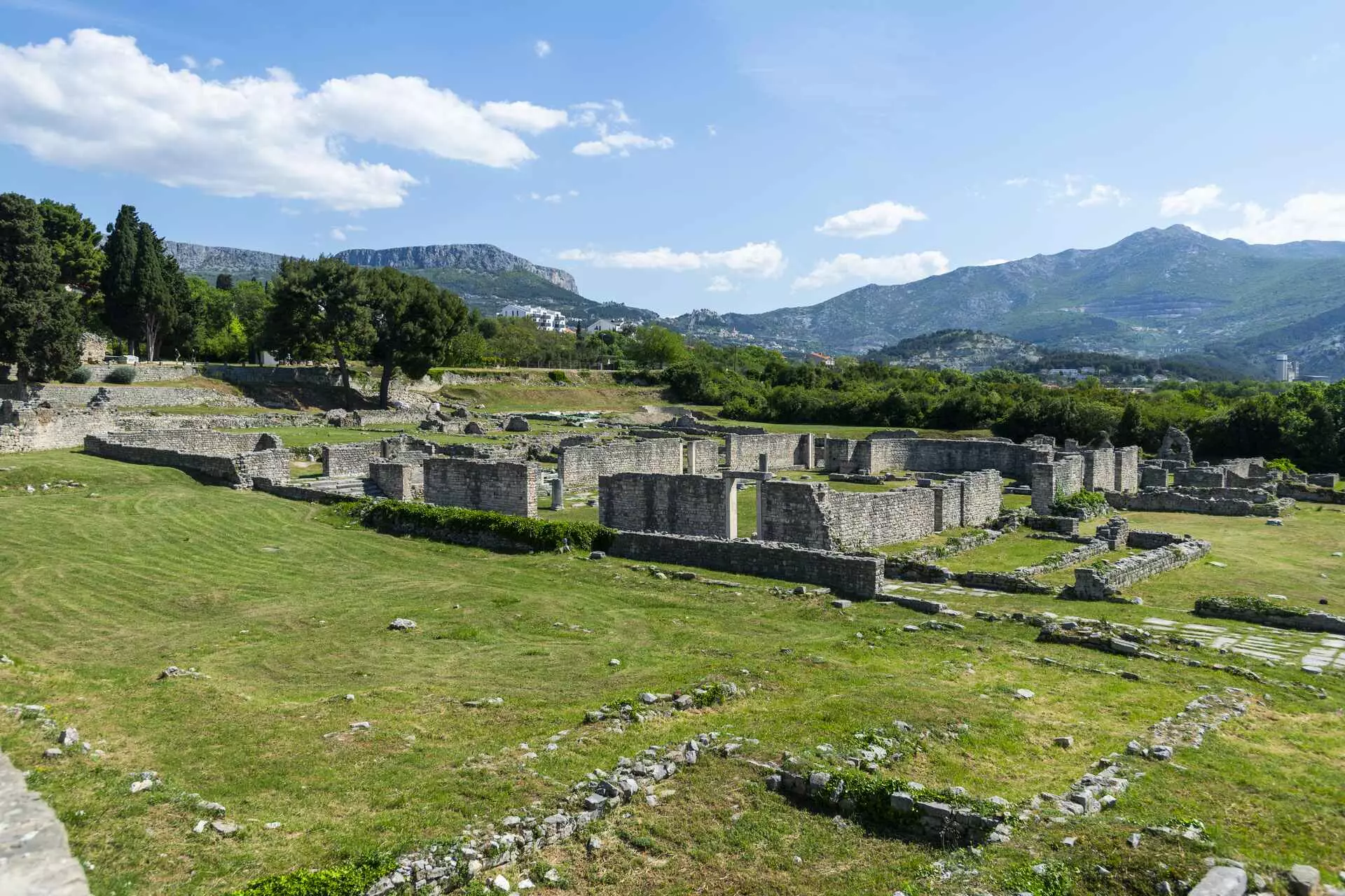
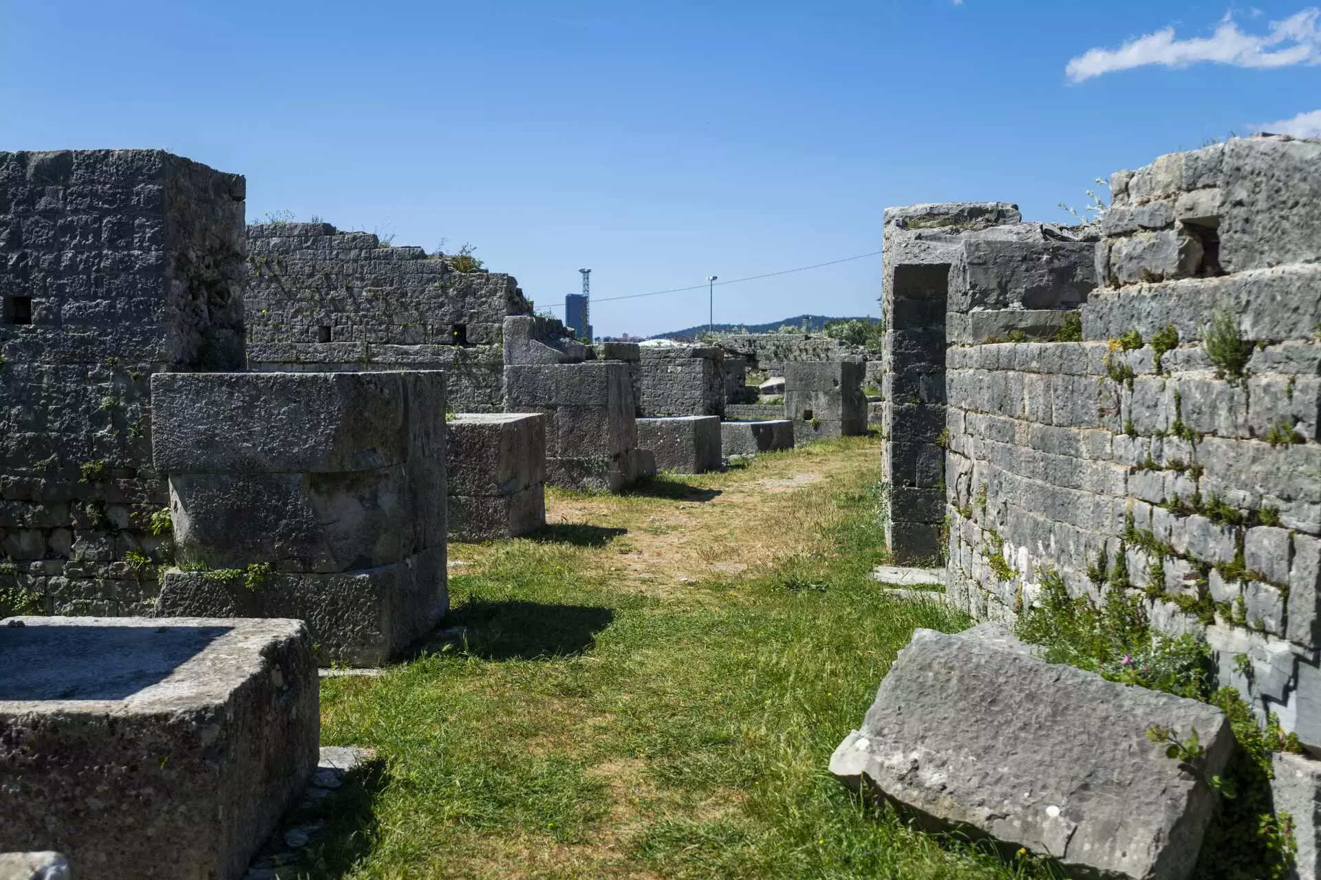
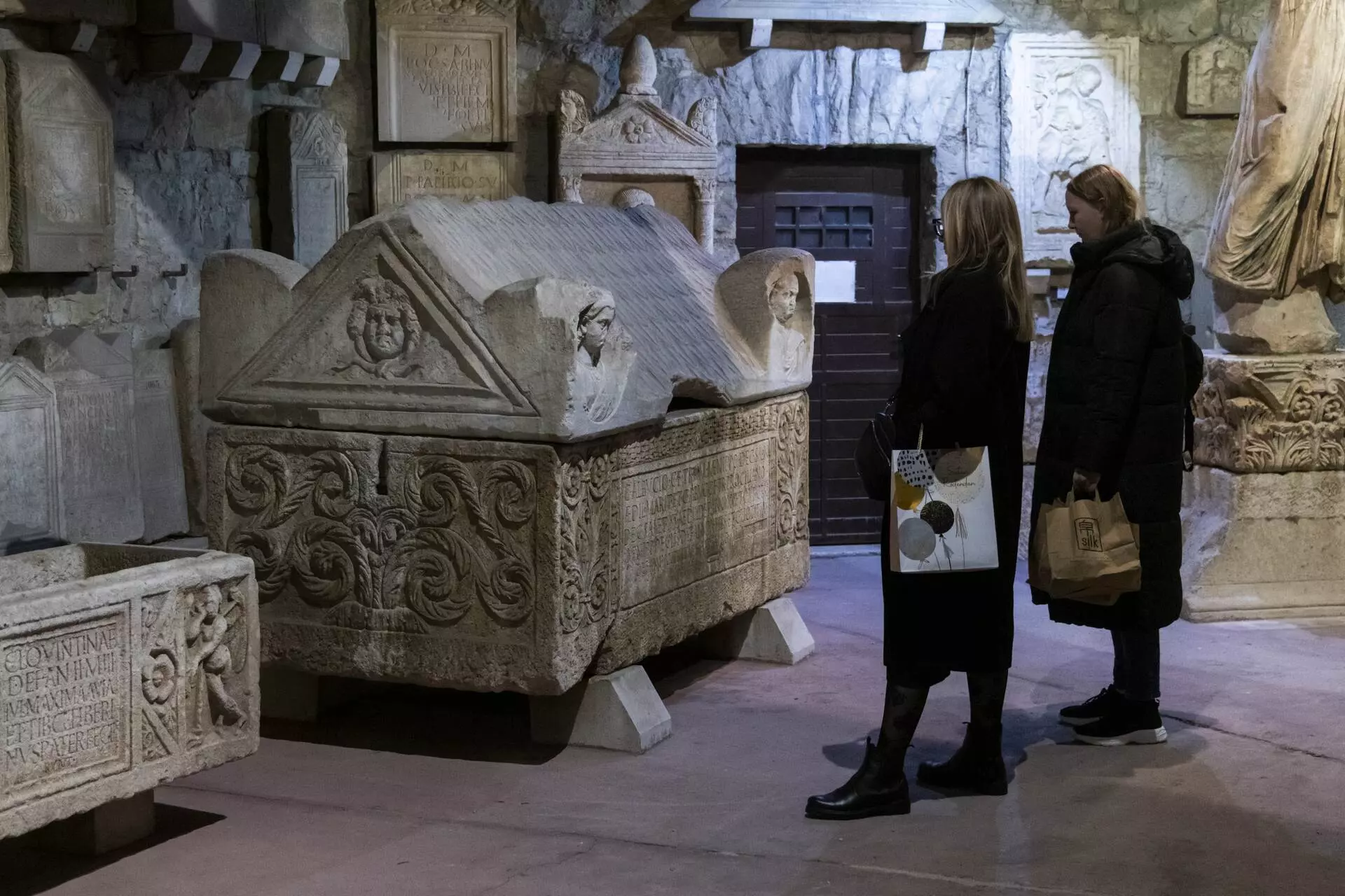
Not far from present-day Split stood Salona, capital of the Roman province of Dalmatia. The city developed beside the Jadro, between the sea and the route towards the hinterland across the Klis Pass. From an Illyrian coastal stronghold it grew into a major urban and harbour centre, and at its peak Salona and its surroundings had around 60,000 inhabitants. City gates, roads, the forum, baths, amphitheatre, necropolises and large early Christian complexes reveal its scale. Under Emperor Diocletian, Salona bore the honorary title Valeria, after his gentilicium, while from the 3rd century it became one of the province’s most important Christian centres. After its decline, part of the population sought refuge in the nearby palace, directly linking Salona with the development of Split.
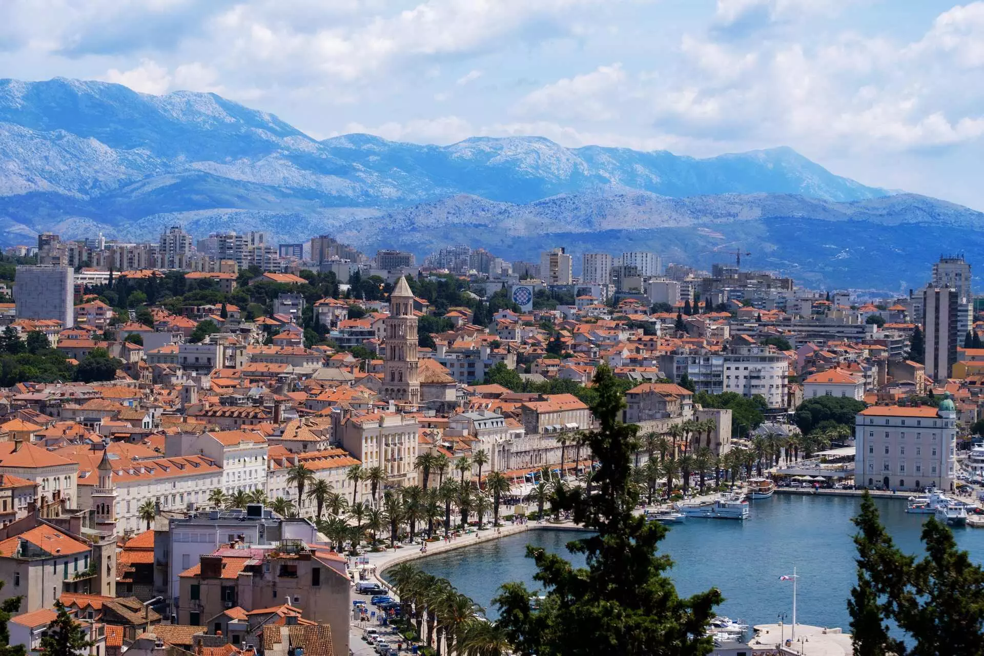
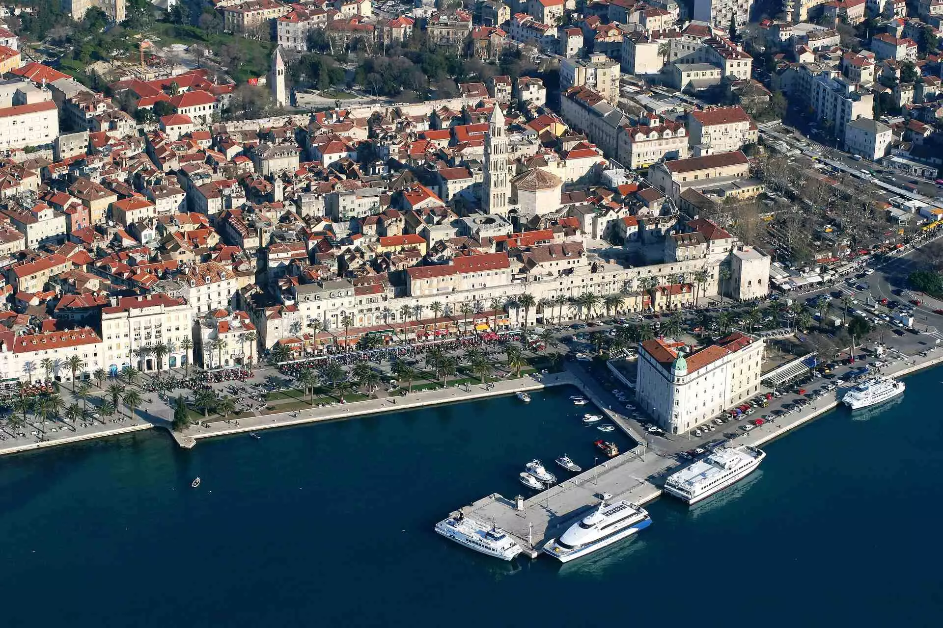
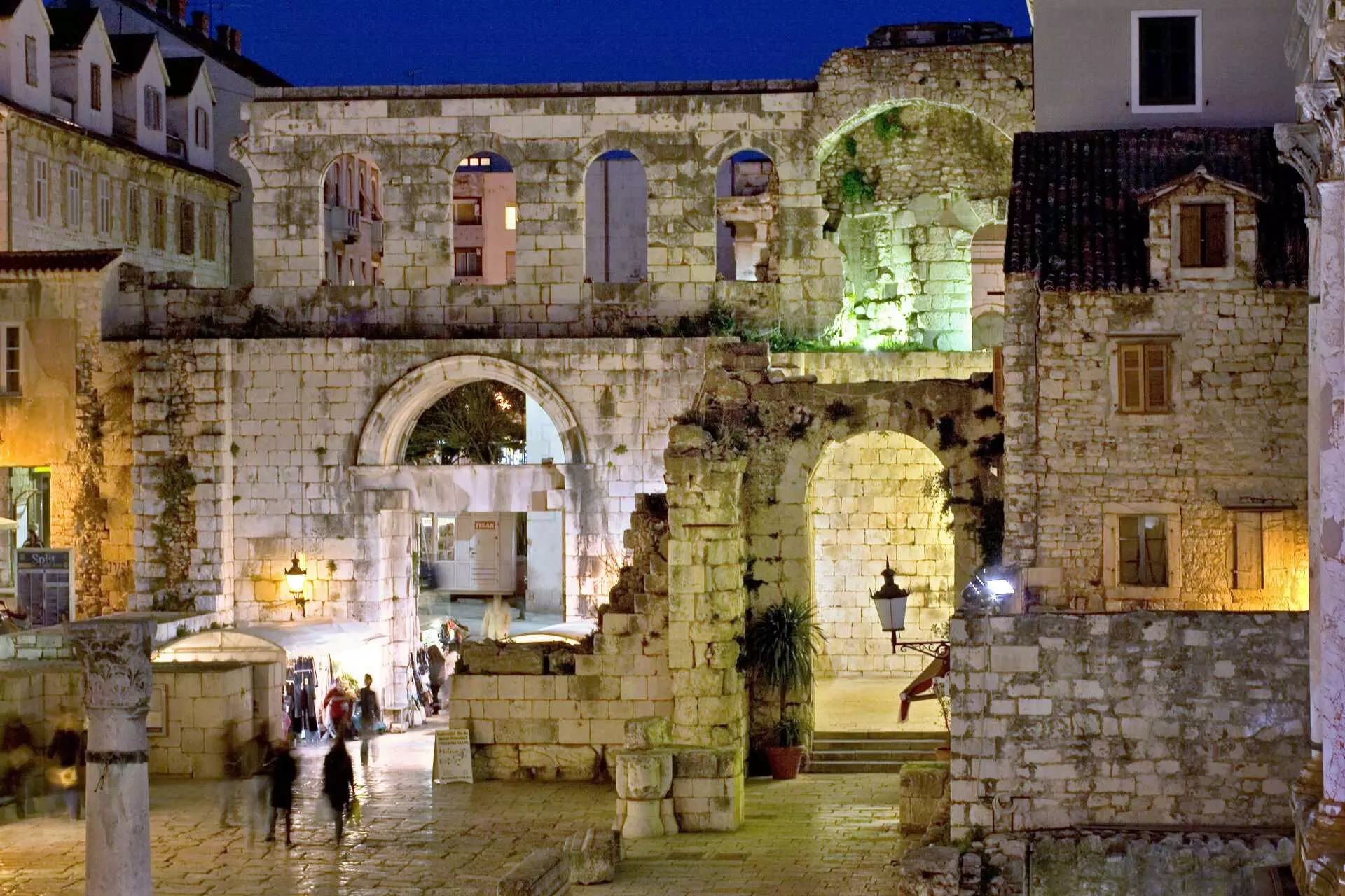
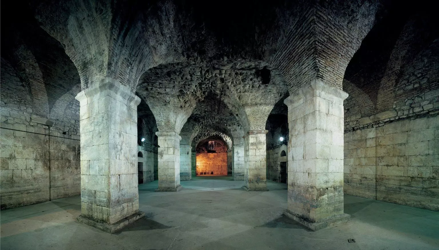
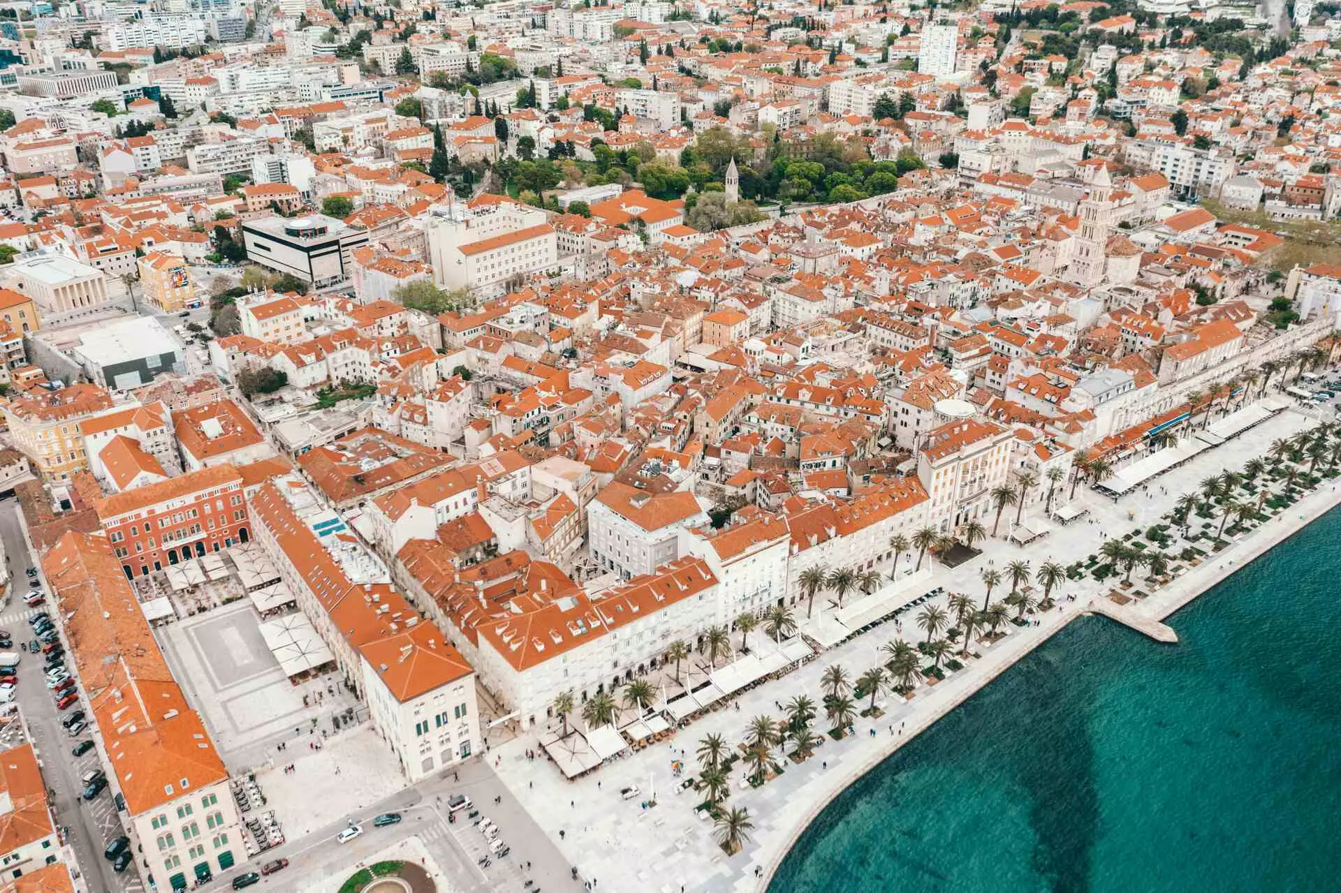
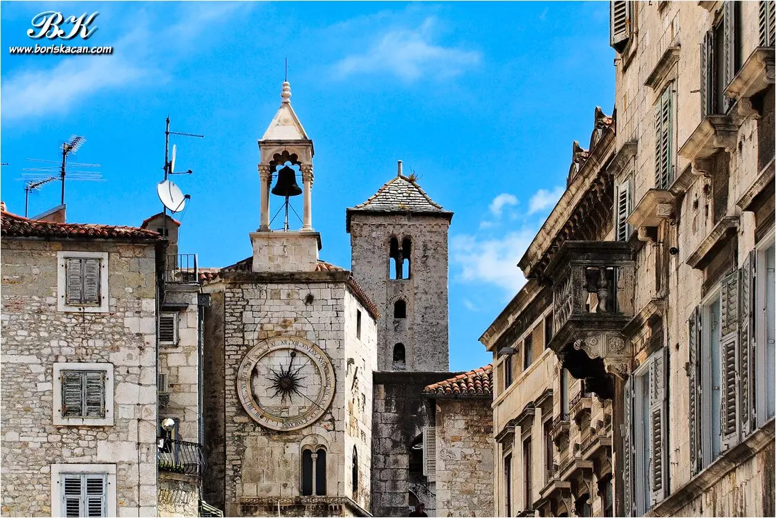
Diocletian built the palace by the sea at the end of the 3rd and beginning of the 4th century. The Peristyle, Vestibule, substructures, former mausoleum, Temple of Jupiter, gates and walls are not an isolated archaeological site today, but parts of a living city, specifically the only palace in the world that is still inhabited, illustrating how closely the Croatian Adriatic remains intertwined with its ancient heritage. From the sea, the relationship is clear: the southern façade faced the shore, where Split’s Riva now lies.
From Split, the route returns to the islands and several centuries further back in time. Pharos, present-day Stari Grad on Hvar, was founded by Greek colonists from Paros in 384 BC. Beside its sheltered harbour lay a fertile plain, divided geometrically into plots. This organisation in the Stari Grad Plain has remained recognisable for more than 2,400 years and is now protected by UNESCO.
Further offshore lies Issa, present-day Vis and the most important Greek colony in what is now Croatia. Founded in the first half of the 4th century BC beside the deep Bay of Vis, the town descended towards the sea in terraces and was protected by strong walls. Parts of the ancient waterfront remain visible beneath the sea near Prirovo, while amphorae, anchors and shipwreck cargoes attest to Issa’s harbour and trade.
Southwards: from Greek colonists to Epidaurum
On Korčula, the most important trace of Greek colonisation leads to Lumbarda. The Lumbarda Psephisma, a stone inscription recording decisions on the foundation of a colony and the division of land among settlers, was found there. It is a key material record of organised Greek colonisation on the eastern Adriatic.
After Korčula, the route turns towards the Neretva and Narona, showing that ancient maritime traffic did not end at the shoreline. The town developed near the upper end of the navigable lower course of the ancient Neretva, where the Greeks founded an emporium, or trading settlement, during the Hellenistic period, later developed by the Romans. As Colonia Iulia Narona, it continued to be a wealthy harbour and trading town.
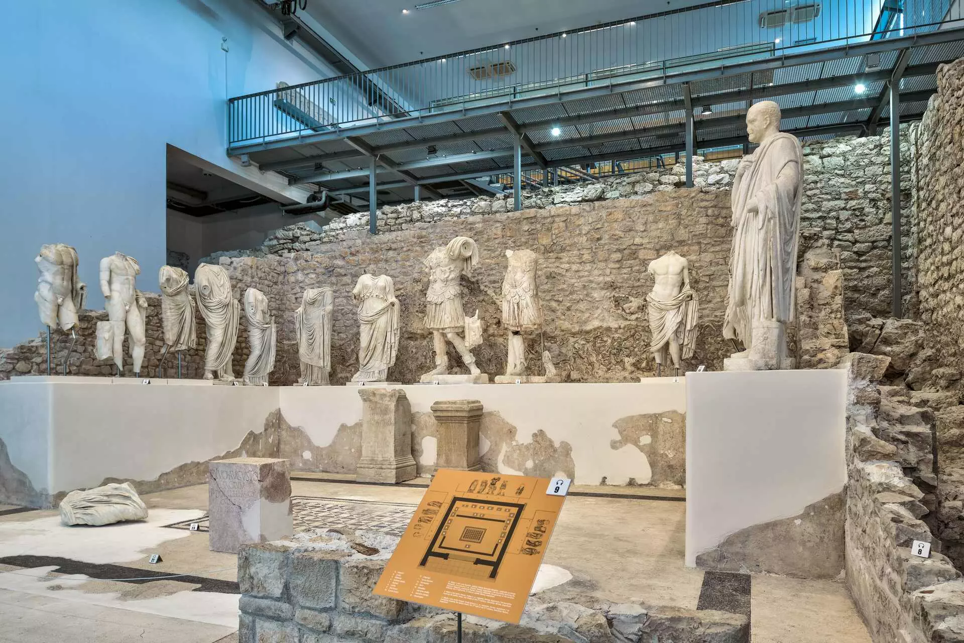
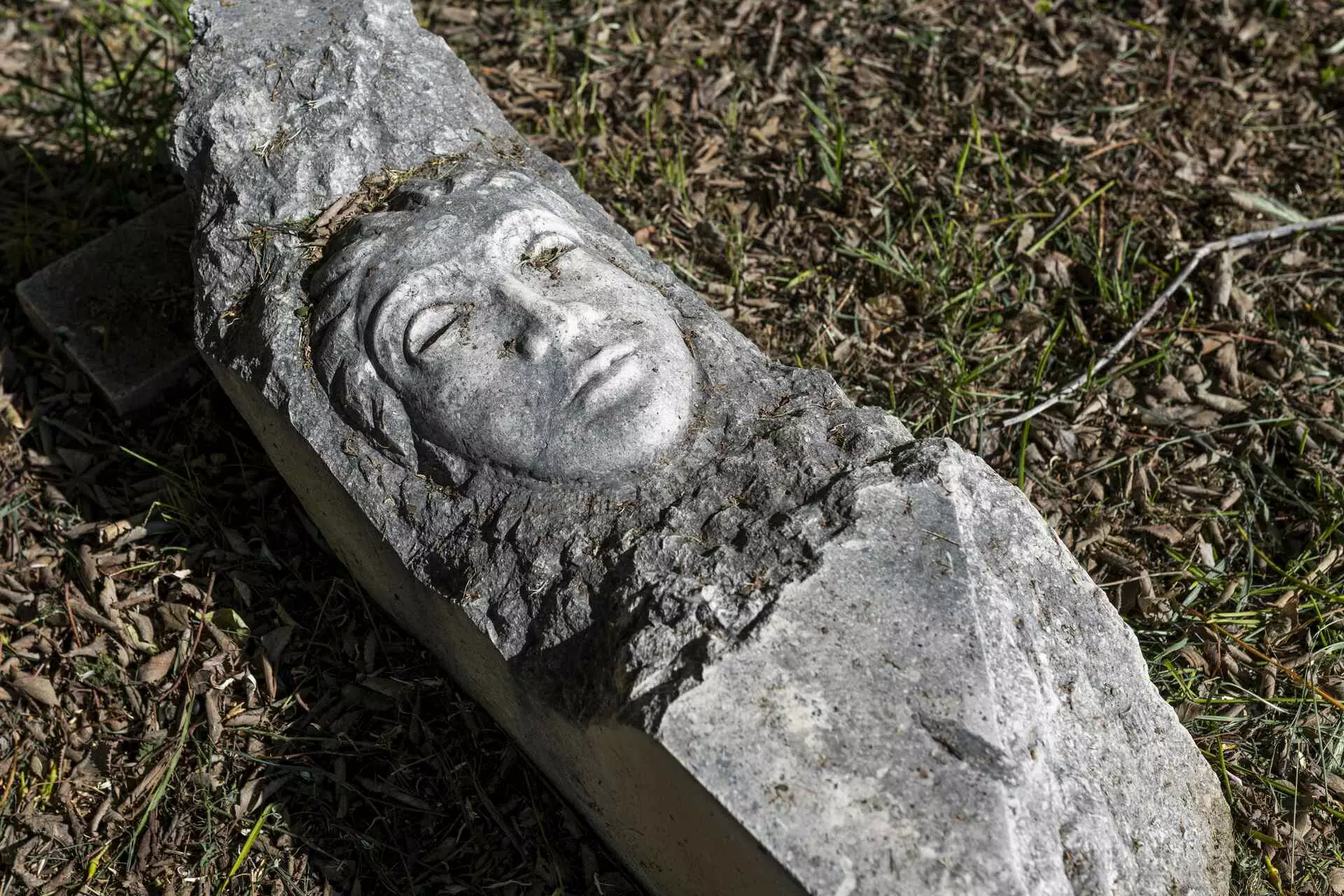
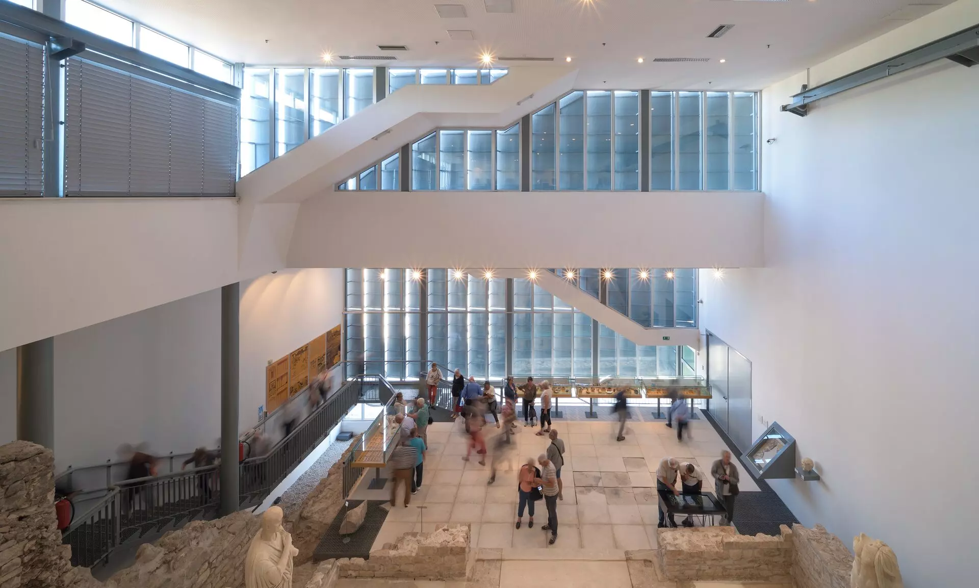
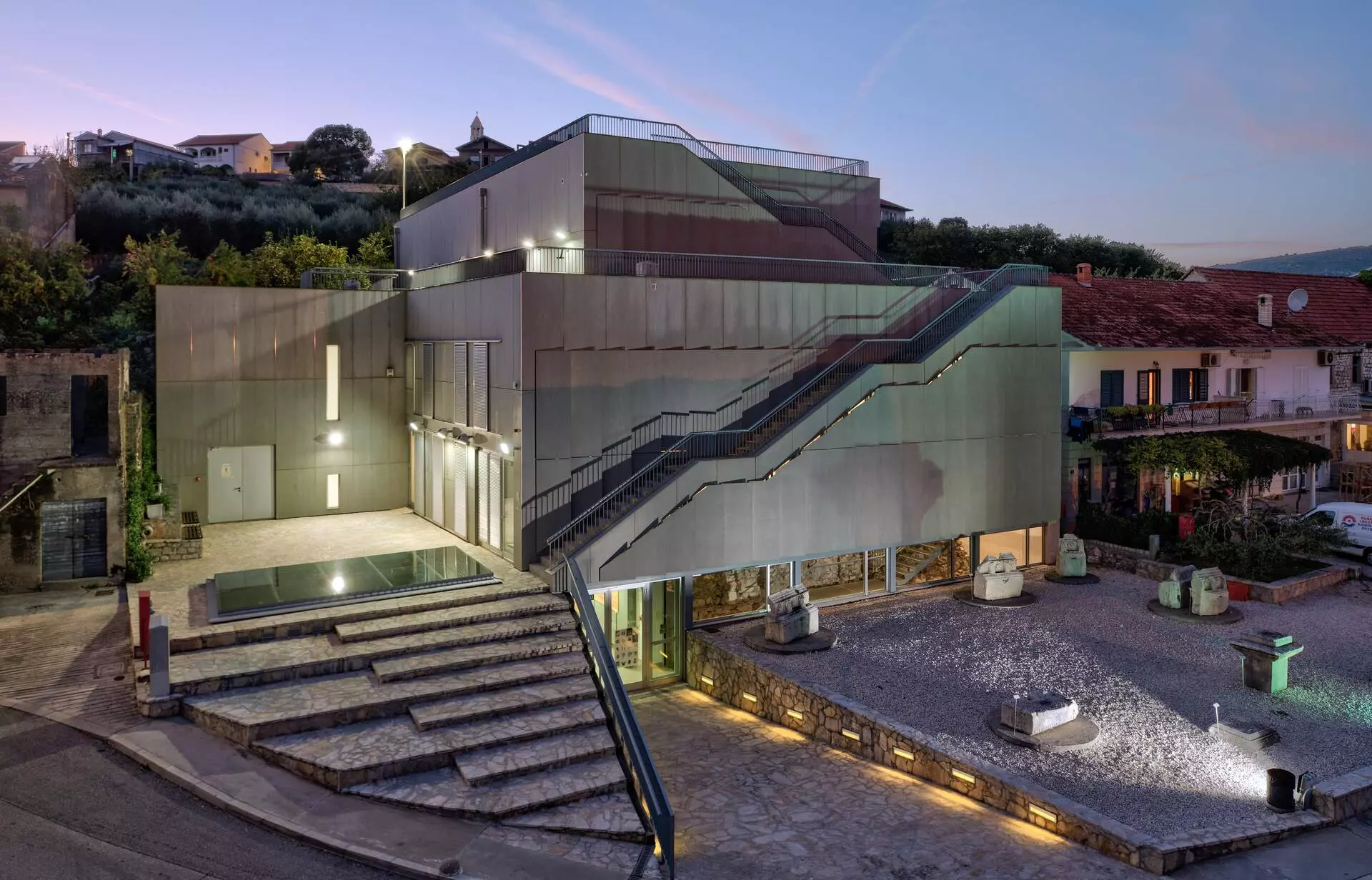
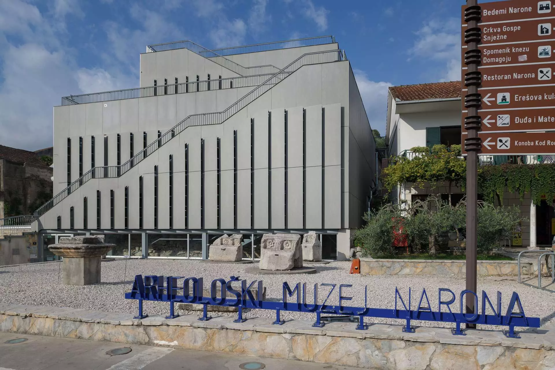
Its most important discovery came in 1995 and 1996, when the Augusteum was excavated and seventeen marble sculptures of Roman emperors and members of their families were found. In 2007, the Narona Archaeological Museum opened above the site, the first Croatian museum built in situ. The lower parts of the ancient city now lie in marshland and water, underscoring Narona’s bond with its river landscape. That relationship with water did not disappear with antiquity. For centuries, lađe and trupice remained central to transport, trade and working land shaped by a network of channels.
Viewed individually, these sites can become a list of landmarks. Pula has the Arena, Zadar the Forum, Salona the amphitheatre, Split the Palace, Narona the Augusteum. Only when linked by sea does it become clear that their locations are no accident. The ancient towns of the Croatian coast developed along navigable routes, sheltered harbours, passages between islands and river connections with the hinterland.
Greek colonists chose places with a harbour and fertile land, while the Romans incorporated them into a wider system of roads, trade and administration. We still sail through the same channels, enter the same bays and approach towns whose positions were shaped by the sea centuries ago.
TEXT Marija Vuković
PHOTOS Arheološki muzej u Splitu, Unsplash, TZ grada Pule, Boris Kačan, Vicko Vidan, Bruno Dubravec, TZ Skradin, Darko Škrobonja, Kristina Peračić, Maksim Bašić & Arheološki muzej Narona